
PGS starts latest Norwegian Sea 3D survey
Jun 19th, 2019Applying GeoStreamer technology to the Trøndelag Platform is said to deliver better seismic velocity estimation, improved imaging of Jurassic targets, and information about Permian presalt potential.PGSOffshore staff
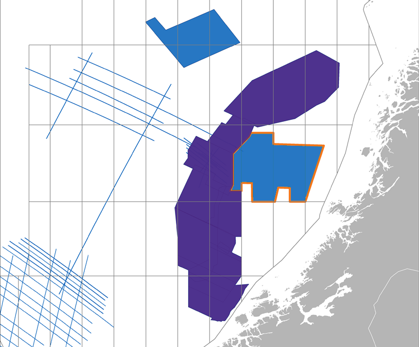
OSLO, Norway – PGS has started acquiring a 9,500-sq km (3,668-sq mi) 3D GeoStreamer survey over frontier acreage in the Norwegian Sea within the Trøndelag Platform and Helgeland basin.
The contractor is using a triple source to maximize data density. It expects to deliver final pre-stack depth migration (PSDM) results in July 2020, adding that the dataset could be used as a baseline survey for future 4D studies.
Applying GeoStreamer technology to the Trøndelag Platform should assist seismic velocity estimation and imaging of the Jurassic targets, PGS said, also providing new information on the presalt potential in the Permian.
Integrated Wavefield imaging of the GeoStreamer data should allow detailed prospect evaluation and exploration for new plays.
06/19/2019
Source: PGS starts latest Norwegian Sea 3D survey | Offshore Magazine